Reigate Borough Crest, The Assembly
Introduction
The photograph on this page of Reigate Borough Crest, The Assembly by Ian Capper as part of the Geograph project.
The Geograph project started in 2005 with the aim of publishing, organising and preserving representative images for every square kilometre of Great Britain, Ireland and the Isle of Man.

There are currently over 7.5m images from over 14,400 individuals and you can help contribute to the project by visiting https://www.geograph.org.uk
Reigate Borough Crest, The Assembly
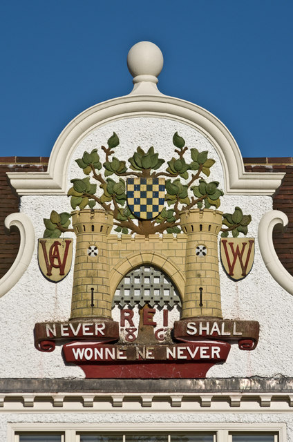
Image: © Ian Capper Taken: 4 Jun 2013
Close up of the restored Reigate Borough Crest (prior to the inclusion in 1974 of the area north of the Downs and Horley to the south to form the Borough of Reigate and Banstead Borough) on the former Frenches Road School, now converted to housing as The Assembly - see Image For another version of the crest see Image
Images are licensed for reuse under creativecommons.org/licenses/by-sa/2.0
Image Location
Latitude
51.247016
Longitude
-0.161889