The Sandy Sign (from the other side)
Introduction
The photograph on this page of The Sandy Sign (from the other side) by St Swithun's VC Lower School as part of the Geograph project.
The Geograph project started in 2005 with the aim of publishing, organising and preserving representative images for every square kilometre of Great Britain, Ireland and the Isle of Man.

There are currently over 7.5m images from over 14,400 individuals and you can help contribute to the project by visiting https://www.geograph.org.uk
The Sandy Sign (from the other side)
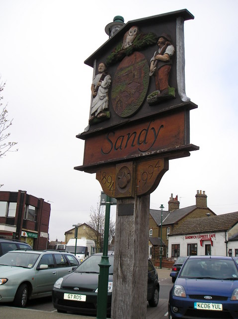
Image: © St Swithun's VC Lower School Taken: 15 Mar 2007
This is a picture of the sign in Sandy (taken from the other side, by a different pupil) This picture was taken on a geography field trip discovering land use with St Swithun's V.C. Lower School. The land use is business here.
Images are licensed for reuse under creativecommons.org/licenses/by-sa/2.0
Image Location


Leaflet Map data © OpenStreetMap
Latitude
52.129306
Longitude
-0.288392