Rectory
Introduction
The photograph on this page of Rectory by St Swithun's VC Lower School as part of the Geograph project.
The Geograph project started in 2005 with the aim of publishing, organising and preserving representative images for every square kilometre of Great Britain, Ireland and the Isle of Man.

There are currently over 7.5m images from over 14,400 individuals and you can help contribute to the project by visiting https://www.geograph.org.uk
Rectory
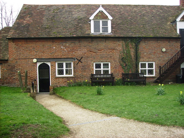
Image: © St Swithun's VC Lower School Taken: 15 Mar 2007
This is for the church which is near our school. This picture was taken on a geography field trip with St Swithun's V.C. Lower School. We discovered land use in our local area. This area is mainly religious land use with some housing and business.
Images are licensed for reuse under creativecommons.org/licenses/by-sa/2.0
Image Location
Latitude
52.12738
Longitude
-0.285837