17 and 19 Richmond Street
Introduction
The photograph on this page of 17 and 19 Richmond Street by Alan Murray-Rust as part of the Geograph project.
The Geograph project started in 2005 with the aim of publishing, organising and preserving representative images for every square kilometre of Great Britain, Ireland and the Isle of Man.

There are currently over 7.5m images from over 14,400 individuals and you can help contribute to the project by visiting https://www.geograph.org.uk
17 and 19 Richmond Street
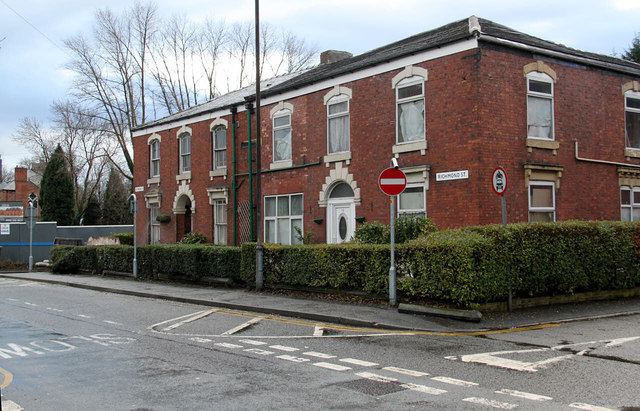
Image: © Alan Murray-Rust Taken: 7 Jan 2014
The area is not quite as prosperous as it was around 1870 when these houses were built. The coping stone lying on the pavement carries a bench mark http://www.geograph.org.uk/photo/3809420 which is now clearly out of position!
Images are licensed for reuse under creativecommons.org/licenses/by-sa/2.0
Image Location
Latitude
53.485869
Longitude
-2.105754