Sticil ar bwys Ynys-ger-gathan / Stile near Ynys-ger-gathan
Introduction
The photograph on this page of Sticil ar bwys Ynys-ger-gathan / Stile near Ynys-ger-gathan by Alan Richards as part of the Geograph project.
The Geograph project started in 2005 with the aim of publishing, organising and preserving representative images for every square kilometre of Great Britain, Ireland and the Isle of Man.

There are currently over 7.5m images from over 14,400 individuals and you can help contribute to the project by visiting https://www.geograph.org.uk
Sticil ar bwys Ynys-ger-gathan / Stile near Ynys-ger-gathan
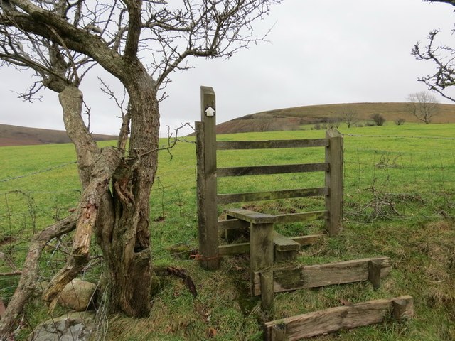
Image: © Alan Richards Taken: 10 Jan 2014
Sticil ar lwybr cyhoeddus sy'n dringo'r tyle o bentre Garnswllt at y mynydd agored. A stile on a public footpath ascending the hill from Garnswllt (trans. cairn of treasure) village towards the open moorland
Images are licensed for reuse under creativecommons.org/licenses/by-sa/2.0
Image Location
Latitude
51.761752
Longitude
-3.983776