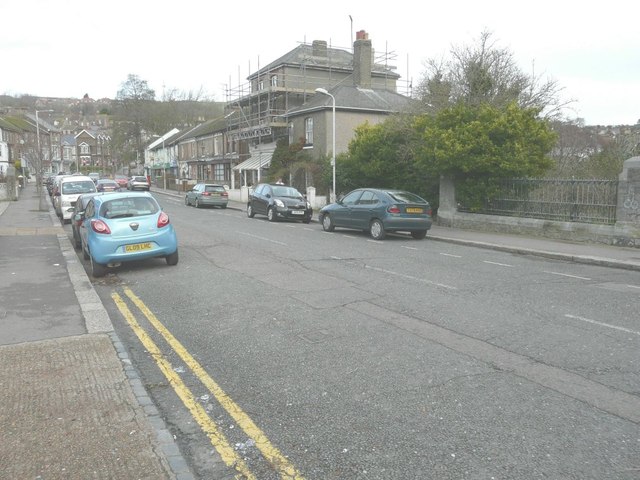
Looking north-northeast along Cherry Tree Avenue
Introduction
The photograph on this page of Looking north-northeast along Cherry Tree Avenue by John Baker as part of the Geograph project.
The Geograph project started in 2005 with the aim of publishing, organising and preserving representative images for every square kilometre of Great Britain, Ireland and the Isle of Man.
There are currently over 7.5m images from over 14,400 individuals and you can help contribute to the project by visiting https://www.geograph.org.uk

Image: © John Baker Taken: 28 Dec 2013
Work is being carried out to the former White Cliffs Medical Centre (the building that is shrouded in scaffolding). Planning permission has been granted by Dover District Council under application number DOV/13/00211 for a “change of use and conversion to a single residential dwelling”. The railings, between the parked car and the right side of the frame, mark where the River Dour passes under the road.

