St John's Road, Scarborough
Introduction
The photograph on this page of St John's Road, Scarborough by Christopher Hall as part of the Geograph project.
The Geograph project started in 2005 with the aim of publishing, organising and preserving representative images for every square kilometre of Great Britain, Ireland and the Isle of Man.

There are currently over 7.5m images from over 14,400 individuals and you can help contribute to the project by visiting https://www.geograph.org.uk
St John's Road, Scarborough
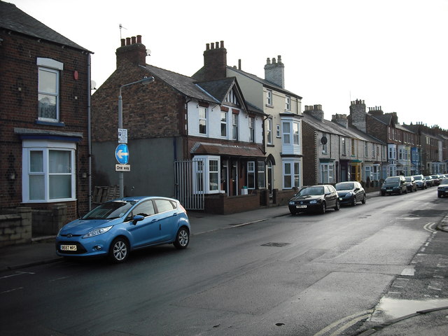
Image: © Christopher Hall Taken: 6 Jan 2014
St John's road is a late 19th century street largely of 'byelaw' houses though there are commercial uses. The building nearest the camera is a laundry. The pair of houses with the white rendered upper part and the gable were damaged by during the German bombardment of Scarborough on December 16th 1914 and carry a plaque similar to Image
Images are licensed for reuse under creativecommons.org/licenses/by-sa/2.0
Image Location
Latitude
54.278478
Longitude
-0.415277