Cross Lanes, Sandybed, Scarborough
Introduction
The photograph on this page of Cross Lanes, Sandybed, Scarborough by Christopher Hall as part of the Geograph project.
The Geograph project started in 2005 with the aim of publishing, organising and preserving representative images for every square kilometre of Great Britain, Ireland and the Isle of Man.

There are currently over 7.5m images from over 14,400 individuals and you can help contribute to the project by visiting https://www.geograph.org.uk
Cross Lanes, Sandybed, Scarborough
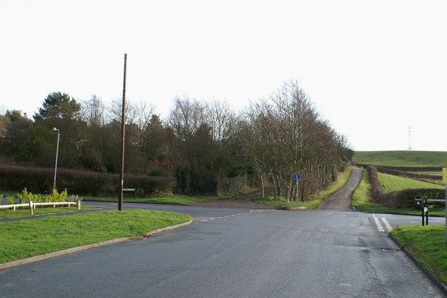
Image: © Christopher Hall Taken: 10 Jan 2014
Taken from Sandybed Lane, the road becomes a track beyond the no through road sign from where it is named Lightfoot's Lane. Going off to the left is Spring Hill Lane, from where Image and Image are taken, whilst to the right is Lightfoot's Road. The track to the left of, and parallel to Lightfoot's Lane leads to allotments and the break in the hedge to the left of this is where a footpath goes off up to Falsgrave Park; see Image
Images are licensed for reuse under creativecommons.org/licenses/by-sa/2.0
Image Location
Latitude
54.271324
Longitude
-0.424919