
'Bonnie Prince Charlie House', The Causeway
Introduction
The photograph on this page of 'Bonnie Prince Charlie House', The Causeway by kim traynor as part of the Geograph project.
The Geograph project started in 2005 with the aim of publishing, organising and preserving representative images for every square kilometre of Great Britain, Ireland and the Isle of Man.

There are currently over 7.5m images from over 14,400 individuals and you can help contribute to the project by visiting https://www.geograph.org.uk
'Bonnie Prince Charlie House', The Causeway
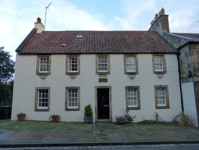
Image: © kim traynor Taken: 10 Jan 2014
It's rare to get a unobstructed view of this building, free of parked cars. In September 1745, Bonnie Prince Charlie, then resident at Holyrood Palace, met the officers of his Jacobite army here for a council of war on the morning of the Battle of Prestonpans. At the time the building was a tavern. The Jacobite horse were camped on open ground to the south of the village, now called Cavalry Park.
Images are licensed for reuse under creativecommons.org/licenses/by-sa/2.0
Image Location

Latitude
55.942466
Longitude
-3.145175