Lye Brae (B8054), Cumbernauld
Introduction
The photograph on this page of Lye Brae (B8054), Cumbernauld by G Laird as part of the Geograph project.
The Geograph project started in 2005 with the aim of publishing, organising and preserving representative images for every square kilometre of Great Britain, Ireland and the Isle of Man.

There are currently over 7.5m images from over 14,400 individuals and you can help contribute to the project by visiting https://www.geograph.org.uk
Lye Brae (B8054), Cumbernauld
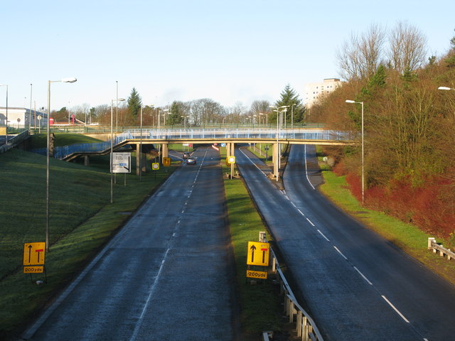
Image: © G Laird Taken: 9 Jan 2014
In the late 1960s, this was the A73 in an expanding Cumbernauld about 1 mile before it joined the A80. Around 1970, the A73 bypassed Cumbernauld entirely.
Images are licensed for reuse under creativecommons.org/licenses/by-sa/2.0
Image Location
Latitude
55.949867
Longitude
-3.978813