Former Chiswick Ferry landing
Introduction
The photograph on this page of Former Chiswick Ferry landing by Robin Webster as part of the Geograph project.
The Geograph project started in 2005 with the aim of publishing, organising and preserving representative images for every square kilometre of Great Britain, Ireland and the Isle of Man.

There are currently over 7.5m images from over 14,400 individuals and you can help contribute to the project by visiting https://www.geograph.org.uk
Former Chiswick Ferry landing
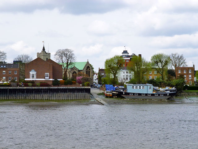
Image: © Robin Webster Taken: 14 Apr 2012
The drawdock and causeway are at the north bank landing for the foot ferry whose south bank landing was at or close to the camera position. Although the ferry is shown on maps up to the 1930s, The Victoria County History misleadingly remarks it was still used up to the 1890s, citing a map of that date. Why didn't the historian, publishing in 1982, look at later maps? When was the true date the ferry ceased? There is still a public footpath down the causeway. The church is St. Nicholas, Chiswick.
Images are licensed for reuse under creativecommons.org/licenses/by-sa/2.0
Image Location
Latitude
51.485723
Longitude
-0.249801