Stone wall alongside the B5119, and a bench mark
Introduction
The photograph on this page of Stone wall alongside the B5119, and a bench mark by John S Turner as part of the Geograph project.
The Geograph project started in 2005 with the aim of publishing, organising and preserving representative images for every square kilometre of Great Britain, Ireland and the Isle of Man.

There are currently over 7.5m images from over 14,400 individuals and you can help contribute to the project by visiting https://www.geograph.org.uk
Stone wall alongside the B5119, and a bench mark
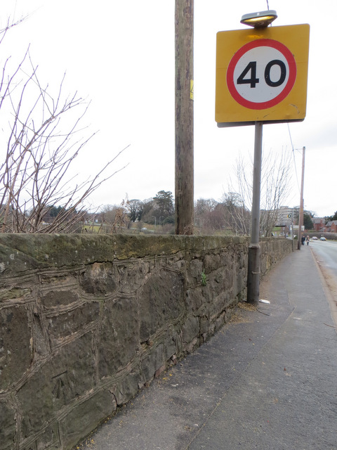
Image: © John S Turner Taken: 8 Jan 2014
This stone wall alongside the B5119 is an extension of the parapet of Leadmill Bridge. There is an Ordnance Survey bench mark on the wall on the left. See: Image
Images are licensed for reuse under creativecommons.org/licenses/by-sa/2.0
Image Location
Latitude
53.172355
Longitude
-3.137092