Ground overlooking Castlederg
Introduction
The photograph on this page of Ground overlooking Castlederg by Kenneth Allen as part of the Geograph project.
The Geograph project started in 2005 with the aim of publishing, organising and preserving representative images for every square kilometre of Great Britain, Ireland and the Isle of Man.

There are currently over 7.5m images from over 14,400 individuals and you can help contribute to the project by visiting https://www.geograph.org.uk
Ground overlooking Castlederg
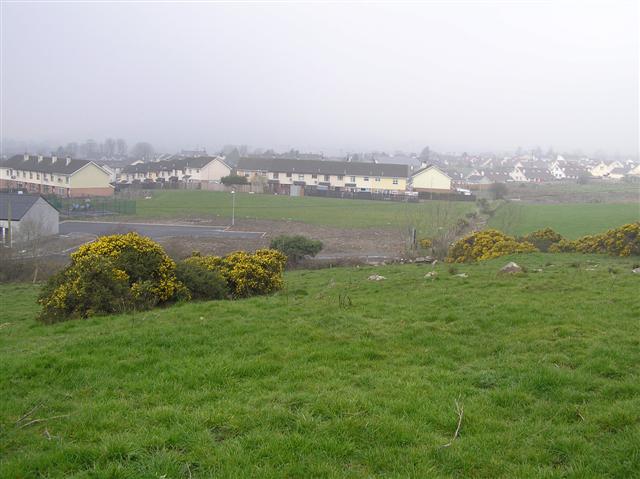
Image: © Kenneth Allen Taken: 27 Mar 2007
I was looking for a chambered grave marked on the map but there were so many stones in the field that I gave up.
Images are licensed for reuse under creativecommons.org/licenses/by-sa/2.0
Image Location
Latitude
54.715034
Longitude
-7.591123