Higher and Lower Youlton Farms
Introduction
The photograph on this page of Higher and Lower Youlton Farms by Andy Carlson as part of the Geograph project.
The Geograph project started in 2005 with the aim of publishing, organising and preserving representative images for every square kilometre of Great Britain, Ireland and the Isle of Man.

There are currently over 7.5m images from over 14,400 individuals and you can help contribute to the project by visiting https://www.geograph.org.uk
Higher and Lower Youlton Farms
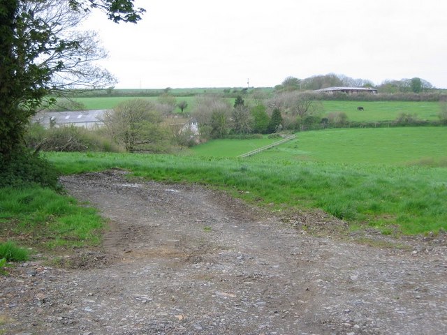
Image: © Andy Carlson Taken: 28 Apr 2005
Historically the name is Youlton (e.g. 1840 Tithe Apportionment) and is incorrectly shown as Youlstone on the modern OS map. The name is said to be derived from the Old English 'Ealda Tun' - old farmstead and can be traced back to at least 1326.
Images are licensed for reuse under creativecommons.org/licenses/by-sa/2.0
Image Location
Latitude
50.678023
Longitude
-4.550916