Derelict High Street site in Raglan
Introduction
The photograph on this page of Derelict High Street site in Raglan by Jaggery as part of the Geograph project.
The Geograph project started in 2005 with the aim of publishing, organising and preserving representative images for every square kilometre of Great Britain, Ireland and the Isle of Man.

There are currently over 7.5m images from over 14,400 individuals and you can help contribute to the project by visiting https://www.geograph.org.uk
Derelict High Street site in Raglan
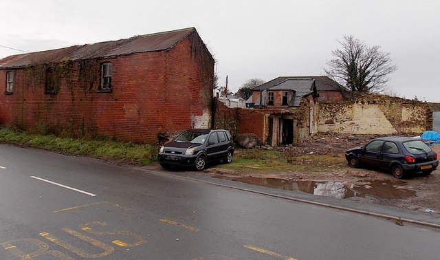
Image: © Jaggery Taken: 5 Jan 2014
The demolition of a barn-like single-storey building has not improved the appearance of this site...
Images are licensed for reuse under creativecommons.org/licenses/by-sa/2.0
Image Location
Latitude
51.764953
Longitude
-2.855469