NW boundary of Raglan
Introduction
The photograph on this page of NW boundary of Raglan by Jaggery as part of the Geograph project.
The Geograph project started in 2005 with the aim of publishing, organising and preserving representative images for every square kilometre of Great Britain, Ireland and the Isle of Man.

There are currently over 7.5m images from over 14,400 individuals and you can help contribute to the project by visiting https://www.geograph.org.uk
NW boundary of Raglan
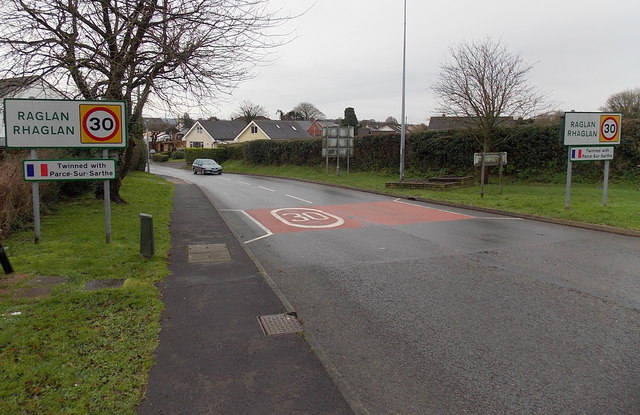
Image: © Jaggery Taken: 5 Jan 2014
The National Speed Limit on the A40 behind the camera reduces to 30mph ahead along High Street. The boundary sign shows that Raglan is twinned with Parcé sur Sarthe in France.
Images are licensed for reuse under creativecommons.org/licenses/by-sa/2.0
Image Location
Latitude
51.765669
Longitude
-2.855917