The Ship Inn, Raglan
Introduction
The photograph on this page of The Ship Inn, Raglan by Jaggery as part of the Geograph project.
The Geograph project started in 2005 with the aim of publishing, organising and preserving representative images for every square kilometre of Great Britain, Ireland and the Isle of Man.

There are currently over 7.5m images from over 14,400 individuals and you can help contribute to the project by visiting https://www.geograph.org.uk
The Ship Inn, Raglan
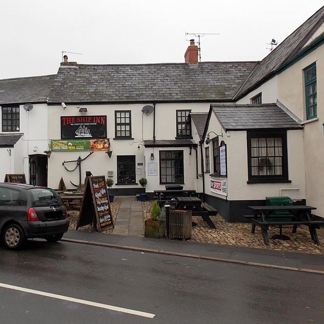
Image: © Jaggery Taken: 5 Jan 2014
Viewed across High Street. The text on the board under the name shows 16th CENTURY FREE HOUSE, though some online sources state that the inn dates from the 17th century.
Images are licensed for reuse under creativecommons.org/licenses/by-sa/2.0
Image Location
Latitude
51.7647
Longitude
-2.853146