Bench mark on a house in Sychdyn
Introduction
The photograph on this page of Bench mark on a house in Sychdyn by John S Turner as part of the Geograph project.
The Geograph project started in 2005 with the aim of publishing, organising and preserving representative images for every square kilometre of Great Britain, Ireland and the Isle of Man.

There are currently over 7.5m images from over 14,400 individuals and you can help contribute to the project by visiting https://www.geograph.org.uk
Bench mark on a house in Sychdyn
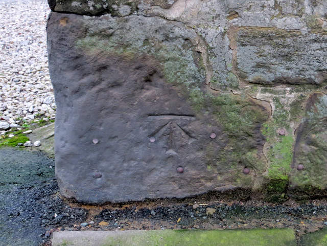
Image: © John S Turner Taken: 8 Jan 2014
This Ordnance Survey bench mark is on the corner of the house at the acute junction of Main Road and Tan-yr-Ysgol. The mark first appears on the 1961 O.S. map, when the mark on the Cross Keys pub opposite disappears. For details of the mark see: http://www.bench-marks.org.uk/bm42814
Images are licensed for reuse under creativecommons.org/licenses/by-sa/2.0
Image Location
Latitude
53.189997
Longitude
-3.134716