Footpath and Cycleway to North Quay Retail Park
Introduction
The photograph on this page of Footpath and Cycleway to North Quay Retail Park by Glen Denny as part of the Geograph project.
The Geograph project started in 2005 with the aim of publishing, organising and preserving representative images for every square kilometre of Great Britain, Ireland and the Isle of Man.

There are currently over 7.5m images from over 14,400 individuals and you can help contribute to the project by visiting https://www.geograph.org.uk
Footpath and Cycleway to North Quay Retail Park
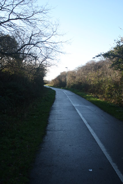
Image: © Glen Denny Taken: 25 Dec 2013
This metalled footpath and cycleway follows the course of the former railway between Great Yarmouth Southtown and Lowestoft Central. This is the view towards the North Quay Retail Park as the cutting starts to become shallower. Out of sight to the left is Lowestoft Cemetery, while out of sight to the right is housing.
Images are licensed for reuse under creativecommons.org/licenses/by-sa/2.0
Image Location
Latitude
52.480522
Longitude
1.733623