The upper reaches of the Swainsmoor valley, a former MOD training area
Introduction
The photograph on this page of The upper reaches of the Swainsmoor valley, a former MOD training area by Dr Duncan Pepper as part of the Geograph project.
The Geograph project started in 2005 with the aim of publishing, organising and preserving representative images for every square kilometre of Great Britain, Ireland and the Isle of Man.

There are currently over 7.5m images from over 14,400 individuals and you can help contribute to the project by visiting https://www.geograph.org.uk
The upper reaches of the Swainsmoor valley, a former MOD training area
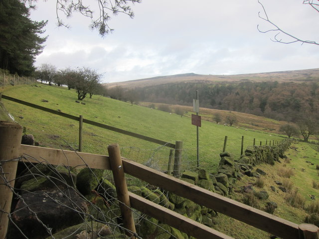
Image: © Dr Duncan Pepper Taken: 8 Jan 2014
Containing one of the sources of the River Churnet.
Images are licensed for reuse under creativecommons.org/licenses/by-sa/2.0
Image Location
Latitude
53.154409
Longitude
-1.968706