The Rose and Crown
Introduction
The photograph on this page of The Rose and Crown by Alan Roberts as part of the Geograph project.
The Geograph project started in 2005 with the aim of publishing, organising and preserving representative images for every square kilometre of Great Britain, Ireland and the Isle of Man.

There are currently over 7.5m images from over 14,400 individuals and you can help contribute to the project by visiting https://www.geograph.org.uk
The Rose and Crown
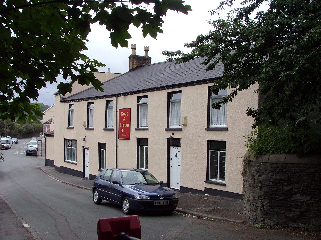
Image: © Alan Roberts Taken: 10 Aug 2006
There are three Public Houses on Bethel Street. Sand Lane separates The Rose & Crown and the Britannia Inn. The other pub is at the far end of the street.
Images are licensed for reuse under creativecommons.org/licenses/by-sa/2.0
Image Location


Leaflet Map data © OpenStreetMap
Latitude
51.630132
Longitude
-3.821109