From the path to Cave Dale - Castleton, Derbyshire
Introduction
The photograph on this page of From the path to Cave Dale - Castleton, Derbyshire by Martin Richard Phelan as part of the Geograph project.
The Geograph project started in 2005 with the aim of publishing, organising and preserving representative images for every square kilometre of Great Britain, Ireland and the Isle of Man.

There are currently over 7.5m images from over 14,400 individuals and you can help contribute to the project by visiting https://www.geograph.org.uk
From the path to Cave Dale - Castleton, Derbyshire
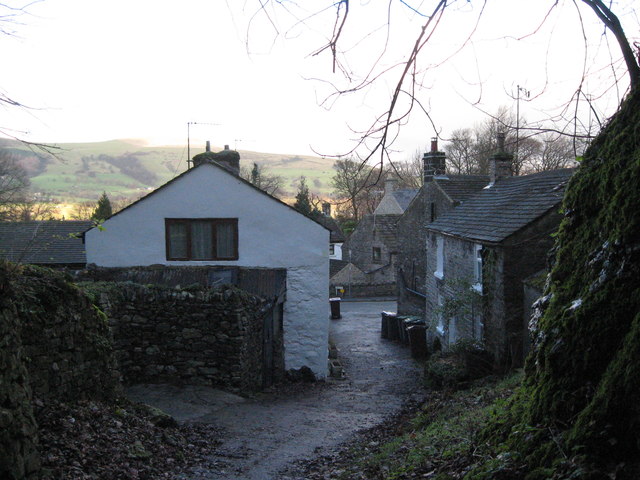
Image: © Martin Richard Phelan Taken: 28 Dec 2013
Looking back from the path through the ravine leading to Cave Dale. Castleton is visited year-round for its wealth of attractions - Peveril Castle, the four Caverns and the village itself. Time taken 3.14 pm GMT (Greenwich Mean Time).
Images are licensed for reuse under creativecommons.org/licenses/by-sa/2.0
Image Location
Latitude
53.341259
Longitude
-1.775425