Fork in the road in Wattsville
Introduction
The photograph on this page of Fork in the road in Wattsville by Jaggery as part of the Geograph project.
The Geograph project started in 2005 with the aim of publishing, organising and preserving representative images for every square kilometre of Great Britain, Ireland and the Isle of Man.

There are currently over 7.5m images from over 14,400 individuals and you can help contribute to the project by visiting https://www.geograph.org.uk
Fork in the road in Wattsville
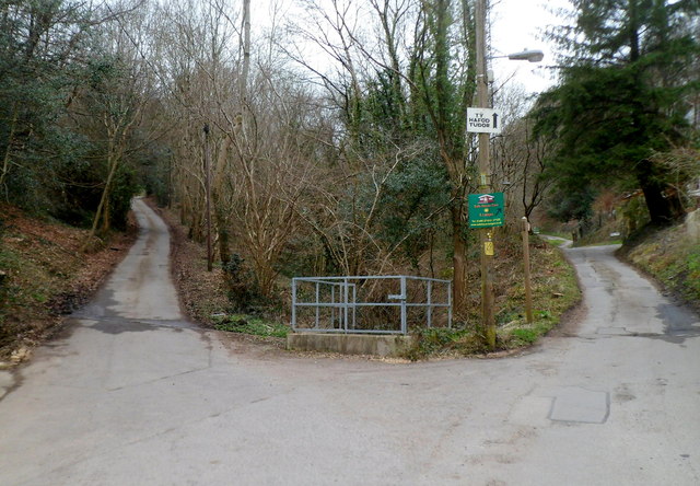
Image: © Jaggery Taken: 16 Mar 2012
Hafod Tudor Terrace behind the camera continues ahead on the right, leading to a track through the valley of Nant Hafod-tudur. The left fork leads to Troed-y-rhiw Road.
Images are licensed for reuse under creativecommons.org/licenses/by-sa/2.0
Image Location
Latitude
51.616582
Longitude
-3.151368