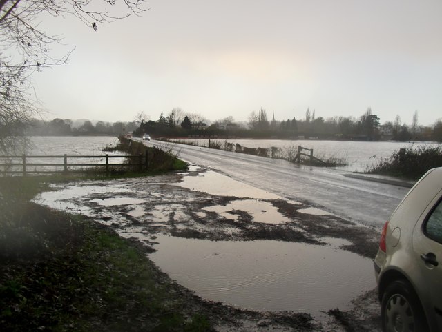
Flooding near Marlow, January 2014 (3)
Introduction
The photograph on this page of Flooding near Marlow, January 2014 (3) by Stefan Czapski as part of the Geograph project.
The Geograph project started in 2005 with the aim of publishing, organising and preserving representative images for every square kilometre of Great Britain, Ireland and the Isle of Man.
There are currently over 7.5m images from over 14,400 individuals and you can help contribute to the project by visiting https://www.geograph.org.uk

Image: © Stefan Czapski Taken: 7 Jan 2014
A shot taken seven minutes after Image and in the meantime visibility had deteriorated - and my optics were getting damp. The Marlow-Cookham Dean road was quite passable, but from this shot it is pretty clear that there would be problems if the water were to rise even a few inches higher. Shot taken from the partial shelter of the bridge seen here: http://www.geograph.org.uk/photo/489942 The sequence continues with: Image

