Entering New Earswick
Introduction
The photograph on this page of Entering New Earswick by DS Pugh as part of the Geograph project.
The Geograph project started in 2005 with the aim of publishing, organising and preserving representative images for every square kilometre of Great Britain, Ireland and the Isle of Man.

There are currently over 7.5m images from over 14,400 individuals and you can help contribute to the project by visiting https://www.geograph.org.uk
Entering New Earswick
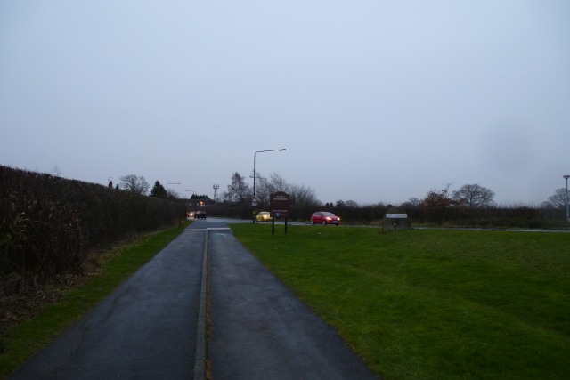
Image: © DS Pugh Taken: 5 Jan 2014
The signs ahead are for New Earswick as the cycle path crosses under the outer ring road.
Images are licensed for reuse under creativecommons.org/licenses/by-sa/2.0
Image Location
Latitude
54.000052
Longitude
-1.07274