Rhydlafar Drive, Rhydlafar.
Introduction
The photograph on this page of Rhydlafar Drive, Rhydlafar. by Peter Wasp as part of the Geograph project.
The Geograph project started in 2005 with the aim of publishing, organising and preserving representative images for every square kilometre of Great Britain, Ireland and the Isle of Man.

There are currently over 7.5m images from over 14,400 individuals and you can help contribute to the project by visiting https://www.geograph.org.uk
Rhydlafar Drive, Rhydlafar.
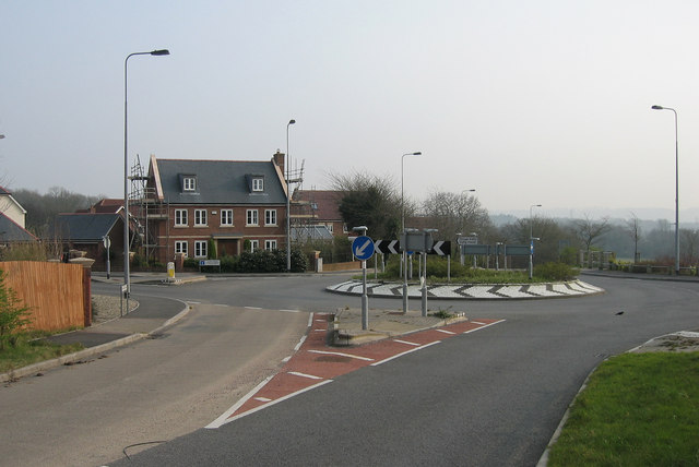
Image: © Peter Wasp Taken: 28 Mar 2007
This modern housing development is built on the site of The Prince Of Wales Hospital at Rhydlafar near Cardiff.
Images are licensed for reuse under creativecommons.org/licenses/by-sa/2.0
Image Location
Latitude
51.512118
Longitude
-3.279581