Eastern arm of Cote Lea Park, Westbury-on-Trym, Bristol
Introduction
The photograph on this page of Eastern arm of Cote Lea Park, Westbury-on-Trym, Bristol by Jaggery as part of the Geograph project.
The Geograph project started in 2005 with the aim of publishing, organising and preserving representative images for every square kilometre of Great Britain, Ireland and the Isle of Man.

There are currently over 7.5m images from over 14,400 individuals and you can help contribute to the project by visiting https://www.geograph.org.uk
Eastern arm of Cote Lea Park, Westbury-on-Trym, Bristol
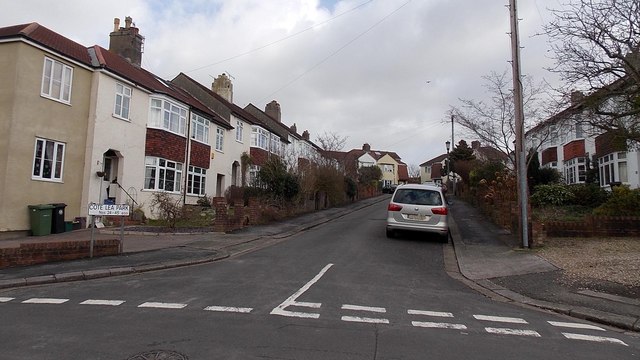
Image: © Jaggery Taken: 30 Jan 2013
The sign on the left shows that numbers 24-45 Cote Lea Park are ahead.
Images are licensed for reuse under creativecommons.org/licenses/by-sa/2.0
Image Location
Latitude
51.493225
Longitude
-2.611981