Scrubby woodland by Hurth Way
Introduction
The photograph on this page of Scrubby woodland by Hurth Way by Bill Boaden as part of the Geograph project.
The Geograph project started in 2005 with the aim of publishing, organising and preserving representative images for every square kilometre of Great Britain, Ireland and the Isle of Man.

There are currently over 7.5m images from over 14,400 individuals and you can help contribute to the project by visiting https://www.geograph.org.uk
Scrubby woodland by Hurth Way
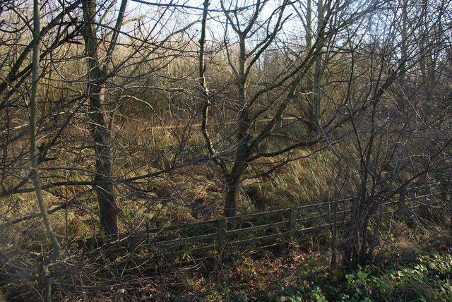
Image: © Bill Boaden Taken: 28 Dec 2013
An area of woodland on the edge of Thetford which is now not at all accessible.
Images are licensed for reuse under creativecommons.org/licenses/by-sa/2.0
Image Location
Latitude
52.412217
Longitude
0.763614