Luggie Bridge
Introduction
The photograph on this page of Luggie Bridge by G Laird as part of the Geograph project.
The Geograph project started in 2005 with the aim of publishing, organising and preserving representative images for every square kilometre of Great Britain, Ireland and the Isle of Man.

There are currently over 7.5m images from over 14,400 individuals and you can help contribute to the project by visiting https://www.geograph.org.uk
Luggie Bridge
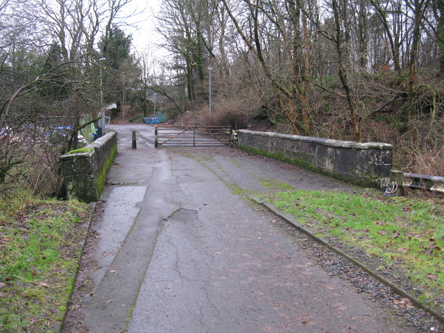
Image: © G Laird Taken: 5 Jan 2014
It is difficult to believe now that until the mid 1960s this bridge over the Luggie Water carried the main trunk road, the A73, which was very busy even in the 1960s because it was then the main connecting road between the A74 at Abington and the A80 at Cumbernauld. It was first bypassed by another road into an expanding Cumbernauld. By about 1970, the A73 moved further west joining the A80 at the Auchenkilns roundabout.
Images are licensed for reuse under creativecommons.org/licenses/by-sa/2.0
Image Location
Latitude
55.932573
Longitude
-3.981293