Stile near Ings Farm, Castley
Introduction
The photograph on this page of Stile near Ings Farm, Castley by Humphrey Bolton as part of the Geograph project.
The Geograph project started in 2005 with the aim of publishing, organising and preserving representative images for every square kilometre of Great Britain, Ireland and the Isle of Man.

There are currently over 7.5m images from over 14,400 individuals and you can help contribute to the project by visiting https://www.geograph.org.uk
Stile near Ings Farm, Castley
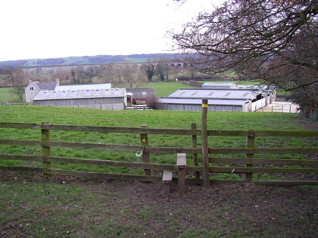
Image: © Humphrey Bolton Taken: 14 Mar 2007
This is on the footpath that goes from Harrogate Road via Ings Farm (in the middle distance) to Castley Lane. The latter part was called Badger Lane on the 1850 map.
Images are licensed for reuse under creativecommons.org/licenses/by-sa/2.0
Image Location
Latitude
53.912194
Longitude
-1.602638