Cranbrook Avenue, Kingston upon Hull
Introduction
The photograph on this page of Cranbrook Avenue, Kingston upon Hull by Bernard Sharp as part of the Geograph project.
The Geograph project started in 2005 with the aim of publishing, organising and preserving representative images for every square kilometre of Great Britain, Ireland and the Isle of Man.

There are currently over 7.5m images from over 14,400 individuals and you can help contribute to the project by visiting https://www.geograph.org.uk
Cranbrook Avenue, Kingston upon Hull
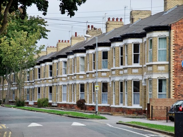
Image: © Bernard Sharp Taken: 1 Sep 2011
Housing on the east side of the avenue, at the junction with Cottingham Road.
Images are licensed for reuse under creativecommons.org/licenses/by-sa/2.0
Image Location
Latitude
53.769273
Longitude
-0.36199