Wharry Bridge
Introduction
The photograph on this page of Wharry Bridge by Alpin Stewart as part of the Geograph project.
The Geograph project started in 2005 with the aim of publishing, organising and preserving representative images for every square kilometre of Great Britain, Ireland and the Isle of Man.

There are currently over 7.5m images from over 14,400 individuals and you can help contribute to the project by visiting https://www.geograph.org.uk
Wharry Bridge
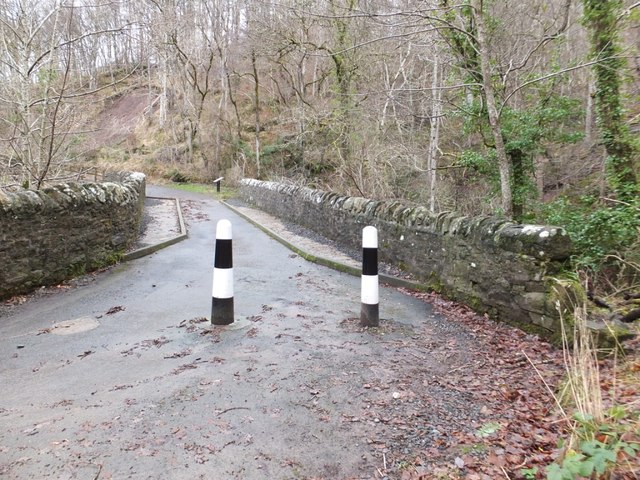
Image: © Alpin Stewart Taken: 1 Jan 2014
The road through Kippenrait Glen was closed to traffic some time ago as a result of landslips. It remains a popular route for walkers and cyclists.
Images are licensed for reuse under creativecommons.org/licenses/by-sa/2.0
Image Location
Latitude
56.174152
Longitude
-3.934761