Dinham Crescent
Introduction
The photograph on this page of Dinham Crescent by Chris Holifield as part of the Geograph project.
The Geograph project started in 2005 with the aim of publishing, organising and preserving representative images for every square kilometre of Great Britain, Ireland and the Isle of Man.

There are currently over 7.5m images from over 14,400 individuals and you can help contribute to the project by visiting https://www.geograph.org.uk
Dinham Crescent
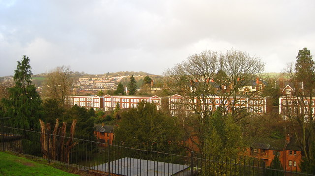
Image: © Chris Holifield Taken: 6 Jan 2014
The Crescent, along with the nearby church Image, is built on land donated by the philanthropist John Dinham who leant his name to the area: http://www.exetermemories.co.uk/em/_churches/mtdinham.php
Images are licensed for reuse under creativecommons.org/licenses/by-sa/2.0
Image Location
Latitude
50.723053
Longitude
-3.537627