Farm buildings and a silo in Reedness
Introduction
The photograph on this page of Farm buildings and a silo in Reedness by Chris as part of the Geograph project.
The Geograph project started in 2005 with the aim of publishing, organising and preserving representative images for every square kilometre of Great Britain, Ireland and the Isle of Man.

There are currently over 7.5m images from over 14,400 individuals and you can help contribute to the project by visiting https://www.geograph.org.uk
Farm buildings and a silo in Reedness
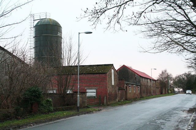
Image: © Chris Taken: 5 Jan 2014
The farm is not named on the map but the area behind it, between the village and the River Ouse is called "North Garths". Opposite, to the right of the road is "South Garths". "Garth" (meaning encircled by or contained in) is a word meaning paddock or field. Sometimes the name incorporates the name of the trees by which the field is (or was) surrounded, as in "Elm Garth" (in Yarburgh, near Louth, Lincs).
Images are licensed for reuse under creativecommons.org/licenses/by-sa/2.0
Image Location
Latitude
53.699302
Longitude
-0.798991