Plockton Village Hall
Introduction
The photograph on this page of Plockton Village Hall by Richard Dorrell as part of the Geograph project.
The Geograph project started in 2005 with the aim of publishing, organising and preserving representative images for every square kilometre of Great Britain, Ireland and the Isle of Man.

There are currently over 7.5m images from over 14,400 individuals and you can help contribute to the project by visiting https://www.geograph.org.uk
Plockton Village Hall
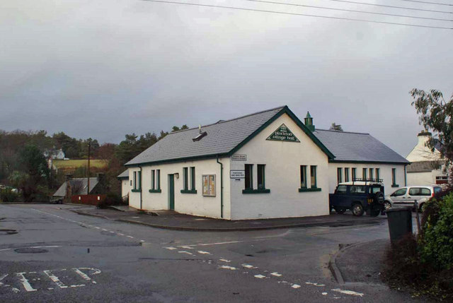
Image: © Richard Dorrell Taken: 2 Jan 2014
Viewed from Harbour Street at its junction with Cooper Street. See also: Image
Images are licensed for reuse under creativecommons.org/licenses/by-sa/2.0
Image Location


Leaflet Map data © OpenStreetMap
Latitude
57.34143
Longitude
-5.648992