Lagoon near the Nutbrook Trail
Introduction
The photograph on this page of Lagoon near the Nutbrook Trail by Jonathan Clitheroe as part of the Geograph project.
The Geograph project started in 2005 with the aim of publishing, organising and preserving representative images for every square kilometre of Great Britain, Ireland and the Isle of Man.

There are currently over 7.5m images from over 14,400 individuals and you can help contribute to the project by visiting https://www.geograph.org.uk
Lagoon near the Nutbrook Trail
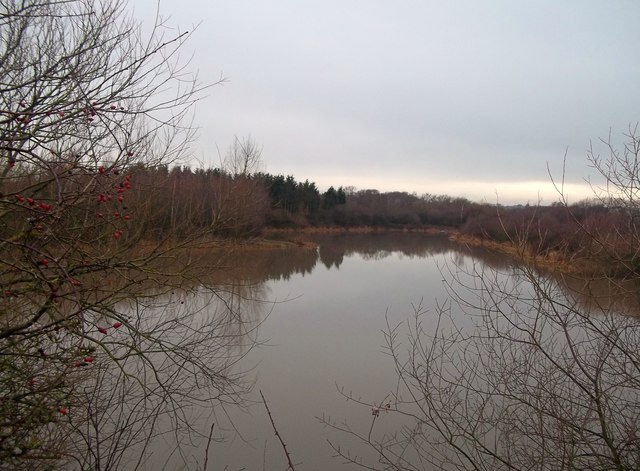
Image: © Jonathan Clitheroe Taken: 4 Jan 2014
A look at the current map indicates that the disused Nutbrook Canal canal ran to the left of this lake while the Nutbrook trail (and cycleway) follows the course of a disused railway line to the right.
Images are licensed for reuse under creativecommons.org/licenses/by-sa/2.0
Image Location
Latitude
52.949031
Longitude
-1.301799