Path junction below Badgers Mount
Introduction
The photograph on this page of Path junction below Badgers Mount by Robin Webster as part of the Geograph project.
The Geograph project started in 2005 with the aim of publishing, organising and preserving representative images for every square kilometre of Great Britain, Ireland and the Isle of Man.

There are currently over 7.5m images from over 14,400 individuals and you can help contribute to the project by visiting https://www.geograph.org.uk
Path junction below Badgers Mount
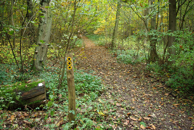
Image: © Robin Webster Taken: 29 Oct 2010
All three ways are marked as footpaths, but right and left is actually a bridleway. A small plastic plate on the log on the left states that some way or other, most likely that straight on, is only a footpath.
Images are licensed for reuse under creativecommons.org/licenses/by-sa/2.0
Image Location


Leaflet Map data © OpenStreetMap
Latitude
51.338063
Longitude
0.154897