SE boundary of Weston-under-Penyard
Introduction
The photograph on this page of SE boundary of Weston-under-Penyard by Jaggery as part of the Geograph project.
The Geograph project started in 2005 with the aim of publishing, organising and preserving representative images for every square kilometre of Great Britain, Ireland and the Isle of Man.

There are currently over 7.5m images from over 14,400 individuals and you can help contribute to the project by visiting https://www.geograph.org.uk
SE boundary of Weston-under-Penyard
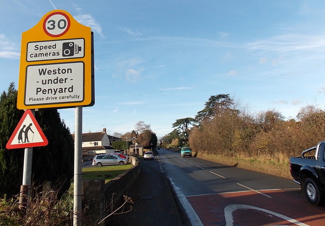
Image: © Jaggery Taken: 8 Dec 2013
The National Speed Limit along the A40 reduces to 30mph at the edge of Weston-under-Penyard, a small village in Herefordshire near Ross-on-Wye. The Penyard is a prominent nearby hill.
Images are licensed for reuse under creativecommons.org/licenses/by-sa/2.0
Image Location


Leaflet Map data © OpenStreetMap
Latitude
51.905956
Longitude
-2.531379