Side turning off Clifton's Lane
Introduction
The photograph on this page of Side turning off Clifton's Lane by Robin Webster as part of the Geograph project.
The Geograph project started in 2005 with the aim of publishing, organising and preserving representative images for every square kilometre of Great Britain, Ireland and the Isle of Man.

There are currently over 7.5m images from over 14,400 individuals and you can help contribute to the project by visiting https://www.geograph.org.uk
Side turning off Clifton's Lane
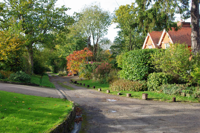
Image: © Robin Webster Taken: 27 Oct 2010
This appears to have been built in late Victorian times as a rather direct route towards Dorking, bypassing a sinuous section of the main Reigate - Dorking road. Since then it has been severed by sand pits and is a dead-end. It does not seem to have any public status.
Images are licensed for reuse under creativecommons.org/licenses/by-sa/2.0
Image Location
Latitude
51.243784
Longitude
-0.229343