The River Dearne
Introduction
The photograph on this page of The River Dearne by John Fielding as part of the Geograph project.
The Geograph project started in 2005 with the aim of publishing, organising and preserving representative images for every square kilometre of Great Britain, Ireland and the Isle of Man.

There are currently over 7.5m images from over 14,400 individuals and you can help contribute to the project by visiting https://www.geograph.org.uk
The River Dearne
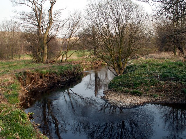
Image: © John Fielding Taken: 28 Mar 2007
The Dearne Way path runs along the left hand side of the river. Water from old mine workings is discharged into the river just below the tree on the left hand. The water feeds through reedbeds which produce, clean, stream water quality at the inlet to the river.
Images are licensed for reuse under creativecommons.org/licenses/by-sa/2.0
Image Location
Latitude
53.597793
Longitude
-1.540529