Fallow Buck, Clay Hill, Enfield
Introduction
The photograph on this page of Fallow Buck, Clay Hill, Enfield by Christine Matthews as part of the Geograph project.
The Geograph project started in 2005 with the aim of publishing, organising and preserving representative images for every square kilometre of Great Britain, Ireland and the Isle of Man.

There are currently over 7.5m images from over 14,400 individuals and you can help contribute to the project by visiting https://www.geograph.org.uk
Fallow Buck, Clay Hill, Enfield
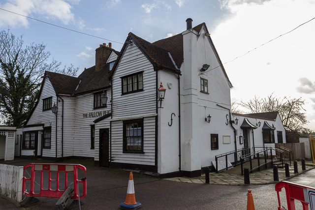
Image: © Christine Matthews Taken: 3 Jan 2014
At the moment this former public house is disused. Information added October 2020 - the Fallow Buck, which was formerly a public house is now a private residence.
Images are licensed for reuse under creativecommons.org/licenses/by-sa/2.0
Image Location
Latitude
51.672495
Longitude
-0.093937