Cheaton Brook, Leominster
Introduction
The photograph on this page of Cheaton Brook, Leominster by Jaggery as part of the Geograph project.
The Geograph project started in 2005 with the aim of publishing, organising and preserving representative images for every square kilometre of Great Britain, Ireland and the Isle of Man.

There are currently over 7.5m images from over 14,400 individuals and you can help contribute to the project by visiting https://www.geograph.org.uk
Cheaton Brook, Leominster
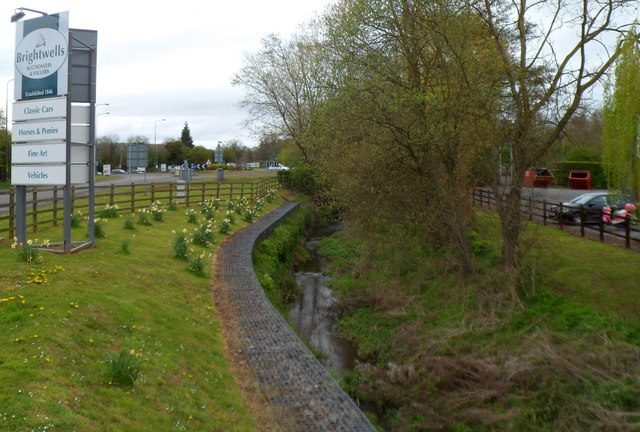
Image: © Jaggery Taken: 22 Apr 2012
The brook flows alongside the A44 Mill Street towards its confluence with the River Lugg a few metres behind the camera.
Images are licensed for reuse under creativecommons.org/licenses/by-sa/2.0
Image Location


Leaflet Map data © OpenStreetMap
Latitude
52.23215
Longitude
-2.730887