Butterwick Church
Introduction
The photograph on this page of Butterwick Church by Christopher Hall as part of the Geograph project.
The Geograph project started in 2005 with the aim of publishing, organising and preserving representative images for every square kilometre of Great Britain, Ireland and the Isle of Man.

There are currently over 7.5m images from over 14,400 individuals and you can help contribute to the project by visiting https://www.geograph.org.uk
Butterwick Church
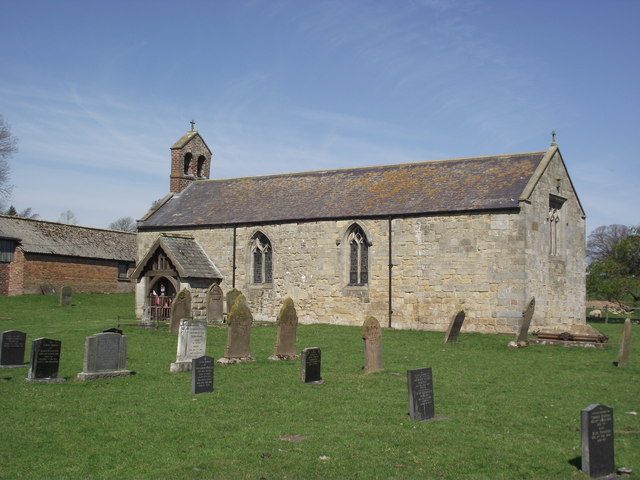
Image: © Christopher Hall Taken: 6 May 2013
Butterwick Church is approached via a field path from the main road to the south. It is a medieval church. The brick buildings behind are part of the farmstead of Manor Farm.
Images are licensed for reuse under creativecommons.org/licenses/by-sa/2.0
Image Location
Latitude
54.129708
Longitude
-0.484168