Mitcham Common (3)
Introduction
The photograph on this page of Mitcham Common (3) by Stephen Richards as part of the Geograph project.
The Geograph project started in 2005 with the aim of publishing, organising and preserving representative images for every square kilometre of Great Britain, Ireland and the Isle of Man.

There are currently over 7.5m images from over 14,400 individuals and you can help contribute to the project by visiting https://www.geograph.org.uk
Mitcham Common (3)
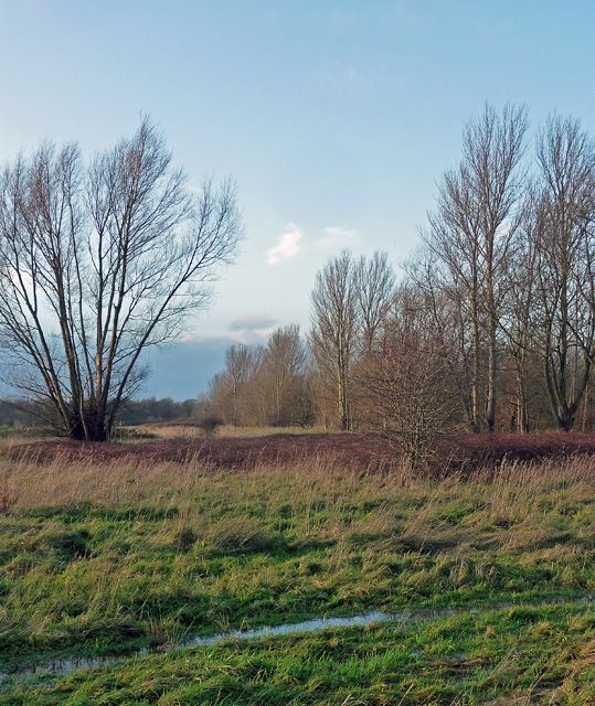
Image: © Stephen Richards Taken: 2 Jan 2014
The path in front has been saturated by prolonged recent rain.
Images are licensed for reuse under creativecommons.org/licenses/by-sa/2.0
Image Location
Latitude
51.394078
Longitude
-0.132556