Storm damage in St Mary's Cemetery (3)
Introduction
The photograph on this page of Storm damage in St Mary's Cemetery (3) by David Anstiss as part of the Geograph project.
The Geograph project started in 2005 with the aim of publishing, organising and preserving representative images for every square kilometre of Great Britain, Ireland and the Isle of Man.

There are currently over 7.5m images from over 14,400 individuals and you can help contribute to the project by visiting https://www.geograph.org.uk
Storm damage in St Mary's Cemetery (3)
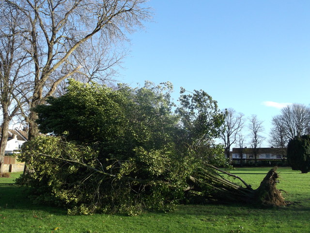
Image: © David Anstiss Taken: 25 Dec 2013
Several old trees have suffered due to the recent severe storms. Including this large holly shrub/bush ! In the background (on the left) is houses on Layfield Avenue. Further in the background is houses on Court Lodge Road.
Images are licensed for reuse under creativecommons.org/licenses/by-sa/2.0
Image Location


Leaflet Map data © OpenStreetMap
Latitude
51.391711
Longitude
0.56536