Footpath to Grange Road
Introduction
The photograph on this page of Footpath to Grange Road by David Anstiss as part of the Geograph project.
The Geograph project started in 2005 with the aim of publishing, organising and preserving representative images for every square kilometre of Great Britain, Ireland and the Isle of Man.

There are currently over 7.5m images from over 14,400 individuals and you can help contribute to the project by visiting https://www.geograph.org.uk
Footpath to Grange Road
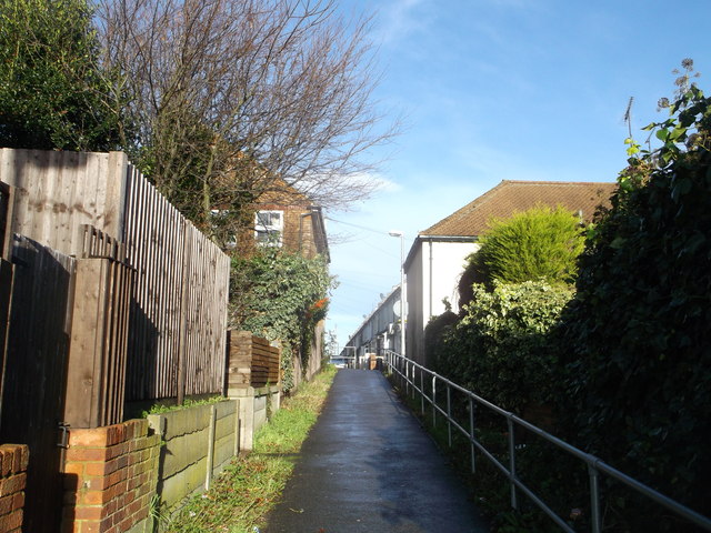
Image: © David Anstiss Taken: 25 Dec 2013
A path leads up from Castlemaine Avenue. Towards a corner shop on Grange Road and St Mary's Cemetery open-space area.
Images are licensed for reuse under creativecommons.org/licenses/by-sa/2.0
Image Location
Latitude
51.389587
Longitude
0.56583