Jan 2014: the flooded River Stour at the old Iford Bridge (3)
Introduction
The photograph on this page of Jan 2014: the flooded River Stour at the old Iford Bridge (3) by Mike Searle as part of the Geograph project.
The Geograph project started in 2005 with the aim of publishing, organising and preserving representative images for every square kilometre of Great Britain, Ireland and the Isle of Man.

There are currently over 7.5m images from over 14,400 individuals and you can help contribute to the project by visiting https://www.geograph.org.uk
Jan 2014: the flooded River Stour at the old Iford Bridge (3)
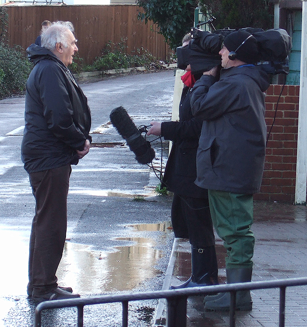
Image: © Mike Searle Taken: 3 Jan 2014
A local resident does a piece to camera for a national news report on the floods at Iford. The floods have attracted national television news teams that have reported on the evacuation of the unfortunate local residents of Iford Bridge Home Park for the second time since Christmas Day. Image
Images are licensed for reuse under creativecommons.org/licenses/by-sa/2.0
Image Location


Leaflet Map data © OpenStreetMap
Latitude
50.740948
Longitude
-1.806358