Footpath from Westoning to Pulloxhill
Introduction
The photograph on this page of Footpath from Westoning to Pulloxhill by Bikeboy as part of the Geograph project.
The Geograph project started in 2005 with the aim of publishing, organising and preserving representative images for every square kilometre of Great Britain, Ireland and the Isle of Man.

There are currently over 7.5m images from over 14,400 individuals and you can help contribute to the project by visiting https://www.geograph.org.uk
Footpath from Westoning to Pulloxhill
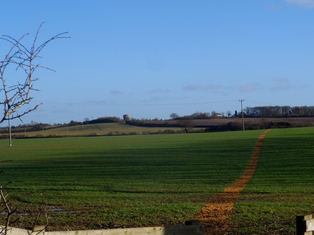
Image: © Bikeboy Taken: 2 Jan 2014
The path seems to have been preserved by applying weed killer to the winter wheat. The water tower at Pulloxhill is visible in the distance. See http://www.geograph.org.uk/photo/3532999 for a closer look.
Images are licensed for reuse under creativecommons.org/licenses/by-sa/2.0
Image Location
Latitude
51.985381
Longitude
-0.487715