River Pang in Bradfield
Introduction
The photograph on this page of River Pang in Bradfield by Des Blenkinsopp as part of the Geograph project.
The Geograph project started in 2005 with the aim of publishing, organising and preserving representative images for every square kilometre of Great Britain, Ireland and the Isle of Man.

There are currently over 7.5m images from over 14,400 individuals and you can help contribute to the project by visiting https://www.geograph.org.uk
River Pang in Bradfield
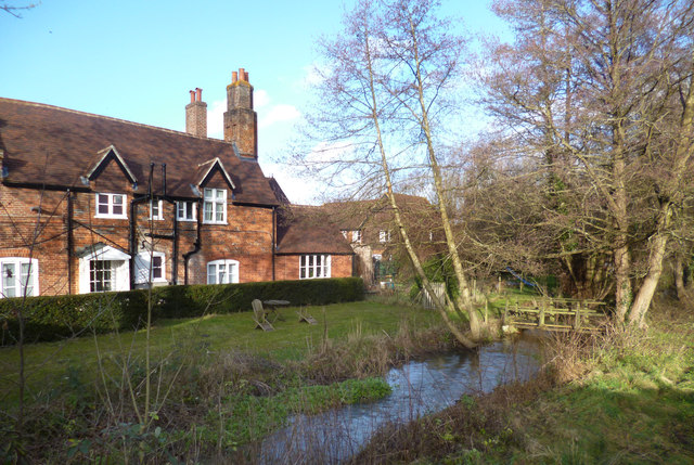
Image: © Des Blenkinsopp Taken: 2 Jan 2014
The Pang is in two channels through the village, with the main flow passing through an old mill. This is the non-millstream branch flowing past a house which is now a medical centre for Bradfield College.
Images are licensed for reuse under creativecommons.org/licenses/by-sa/2.0
Image Location
Latitude
51.450709
Longitude
-1.133196