Off St. Mark's Lane, Cheetham Hill
Introduction
The photograph on this page of Off St. Mark's Lane, Cheetham Hill by Tricia Neal as part of the Geograph project.
The Geograph project started in 2005 with the aim of publishing, organising and preserving representative images for every square kilometre of Great Britain, Ireland and the Isle of Man.

There are currently over 7.5m images from over 14,400 individuals and you can help contribute to the project by visiting https://www.geograph.org.uk
Off St. Mark's Lane, Cheetham Hill
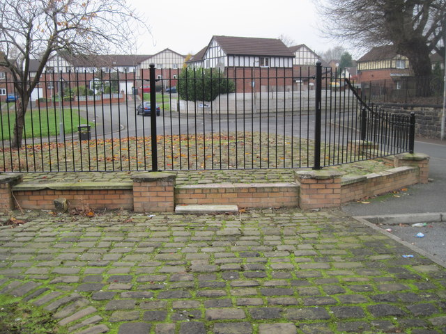
Image: © Tricia Neal Taken: 20 Nov 2011
I can't work out what this is. It lies between Copthall Lane and Grangeforth Road. The wall on the right is the boundary of the old graveyard. In the distance, the new houses are on St. Helier's Drive. It is an area of stones like cobbles, with two circular depressions which might once have been flower-beds. These railings seem to serve no purpose. I wonder if it might be the site of some historical building, but there is no plaque near by to explain it.
Images are licensed for reuse under creativecommons.org/licenses/by-sa/2.0
Image Location
Latitude
53.510828
Longitude
-2.246804